


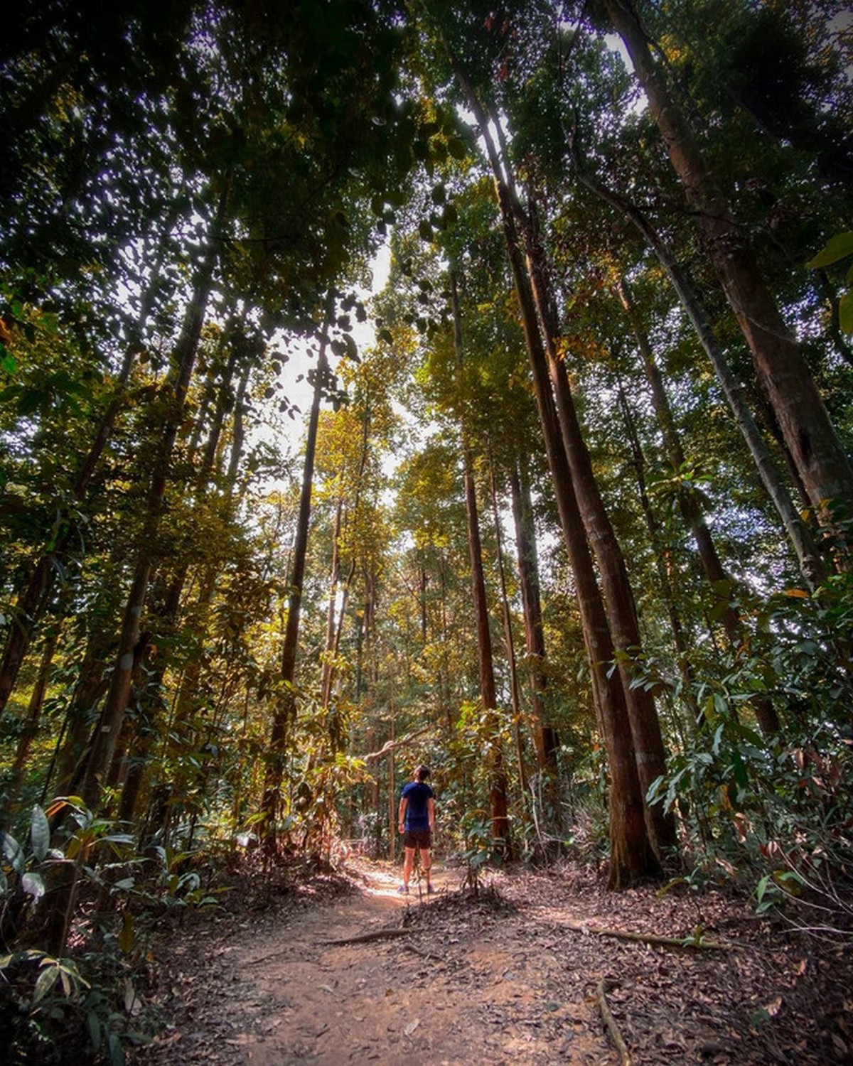
16 Hiking Trails In Klang Valley with their Levels of Difficulty Which You Can Keep as Remark First
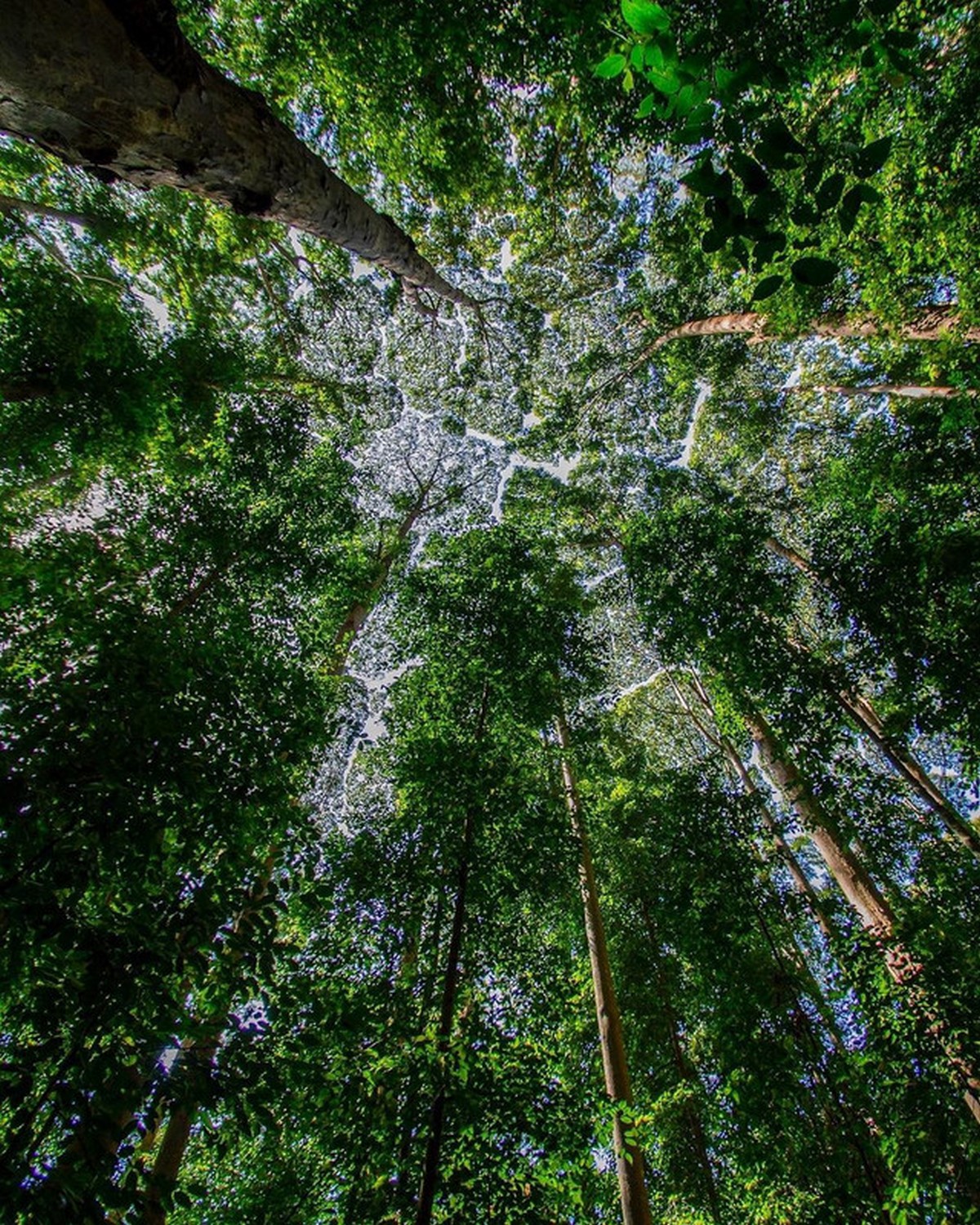
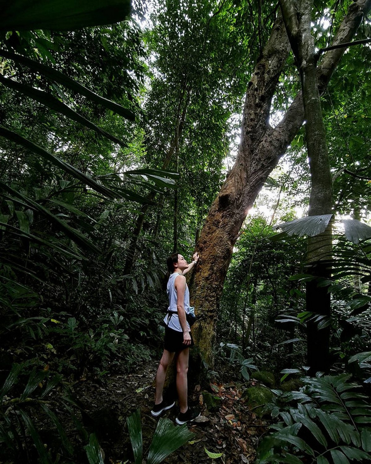
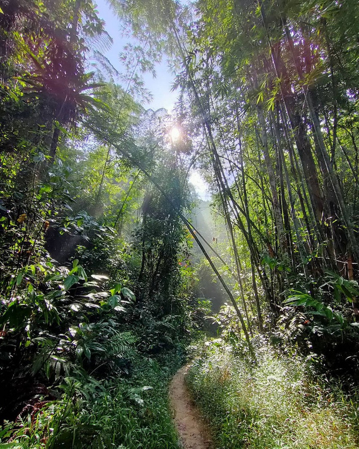
For those who always loved the fresh air and being with nature, then you will certainly enjoy these climb, hiking trail where it will be a fun activity outdoor for sure. Now with the standard operating procedures and SOP like physical distancing and especially the MCO 2.0, this is 16 hiking trails around Klang Valleys if it is around 10 km range ya 😀
Gasing Hill (Bukit Gasing)
Entrance fee:
Free
Address:
Jalan Tanjong 5/4, Section 5,
Bukit Gasing, Petaling Jaya
Taman Tugu
Located right in the heart of KL wher ethis lush forest reserve has a great outdoor time for families or anyone with young kids, with multiple route within the park where you can enjoy around an hour to complete it.
Entrance fee:
Free
Address:
Taman Tugu, Pesiaran Sultan Salahuddin, Kuala Lumpur,
50480 Kuala Lumpur, WPKL
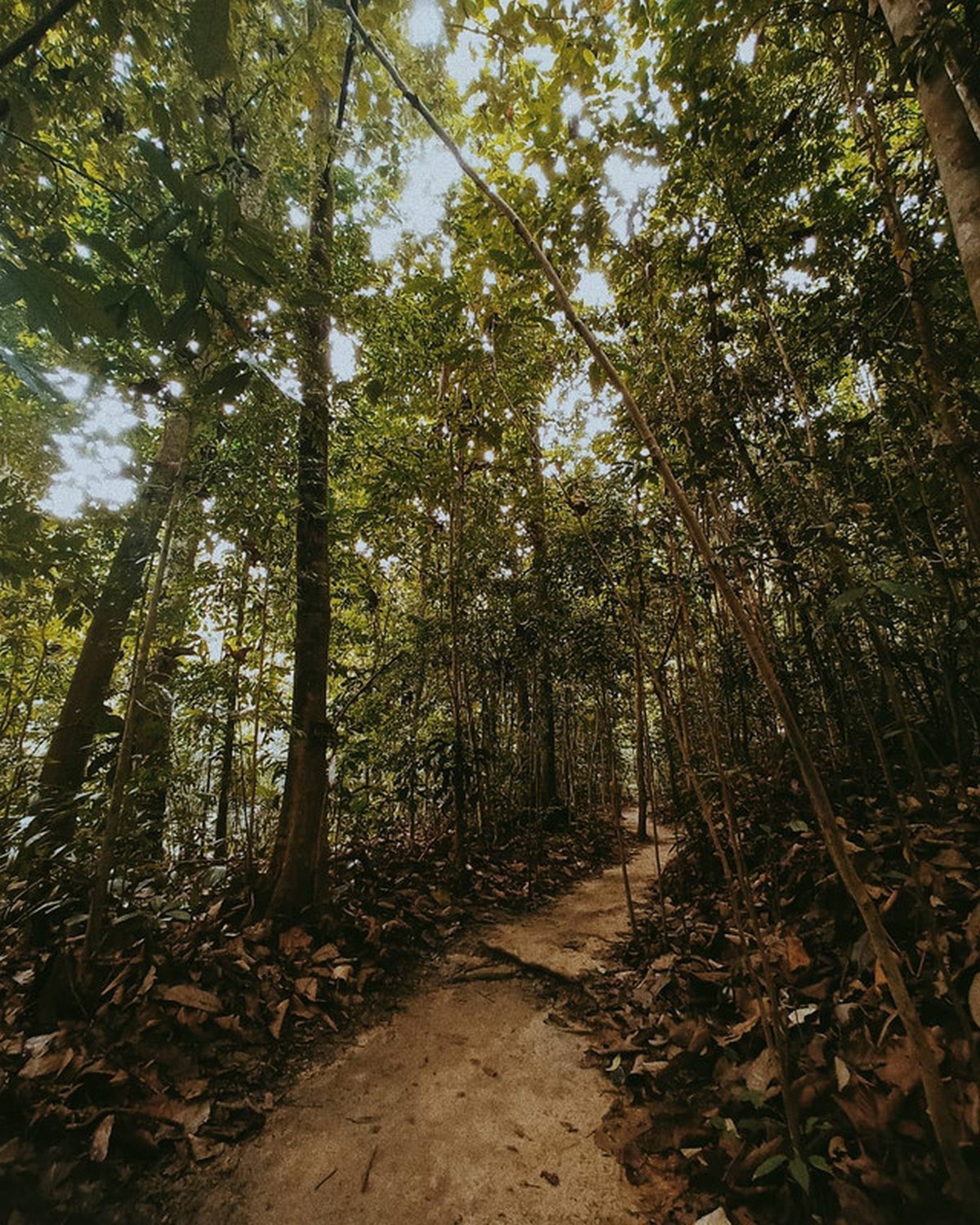
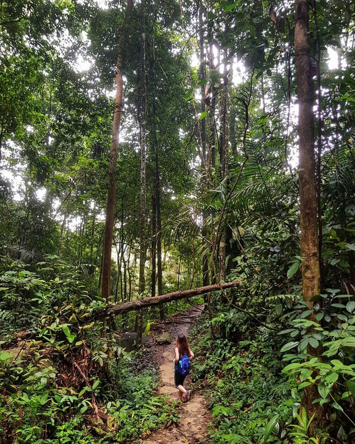
Wawasan Hill (Hutan Simpan Ayer Hitam)
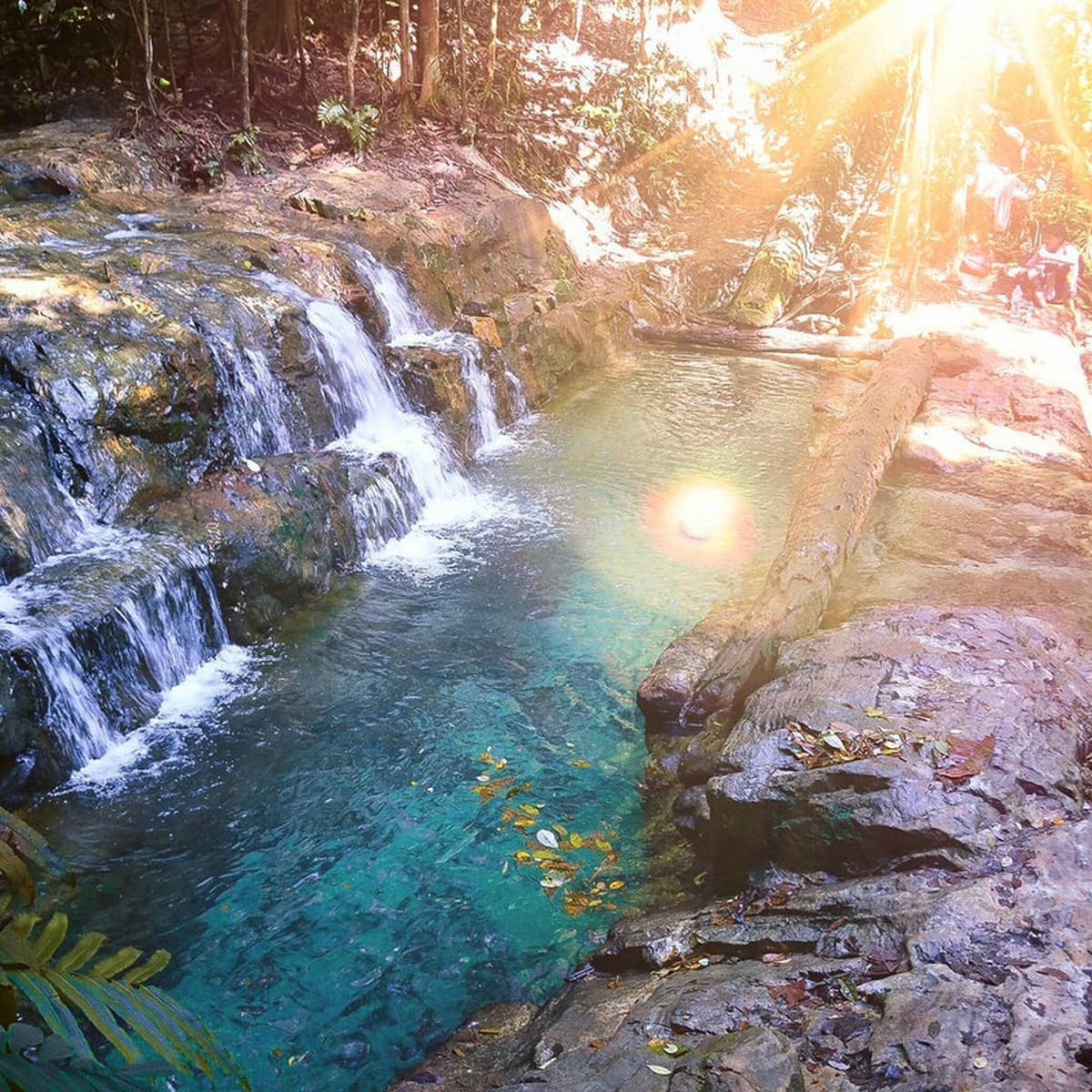
If you are looking for something slightly more challenging then check out this Wawasan Hill in Puchong where some of of the hill are steep and the trail are actually a part of forest reserve. Here you can enjoy about two to three hour hike to the top. There are three trails here which including one with a waterfall and the waterfall pool is a restricted area.
Entrance fee:
Free
Address:
Persiaran Bukit, Pusat Bandar Puchong,
47100 Puchong, Selangor
Google Maps coordinates:
3.024687, 101.629745
Bukit Sri Bintang
If you are loking for a fairly easy hiking trails with a 40 to 90 minutes hike you can check this trail out here.
Entrance fee:
Free
Address:
Jalan Seri Bintang 8 (also called Jalan 11/36),
Taman Sri Bintang, Kuala Lumpur,
52100, WPKL
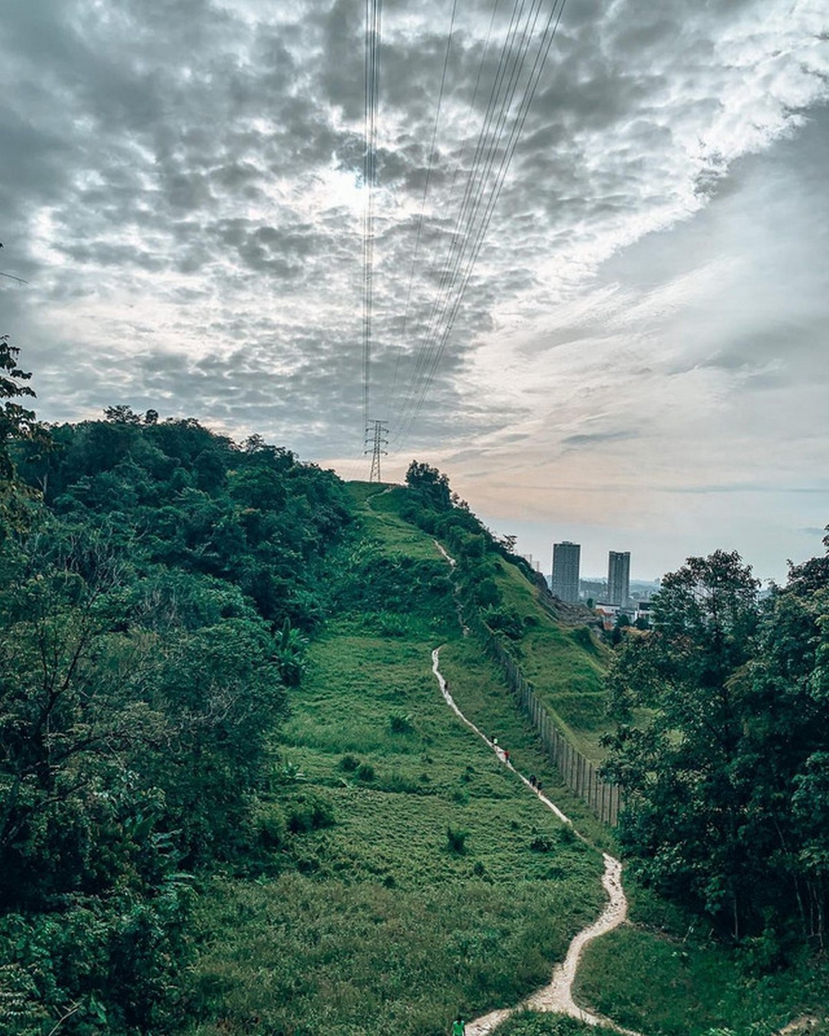
Kota Damansara Community Forest Park (Taman Rimba Komuniti Kota Damansara)

This Forest park as multiple trails with the different levels of intensity, and you can check out the two of more popular ones which are Denai Tiga Puteri and Unity Peak, which are 1.5 km and 2 km long. Check which trail is suited to your fitness level, as some are a little more challenging than others.
Entrance fee:
Free
Address:
Jalan Merbah 10/1, Seksyen 10, Kota Damansara,
47810 Petaling Jaya, Selangor
Kembara Hill (Bukit Kembara)

Located nearby the Ampang area where this easy to moderate hike which will take you around one to three hours to complete where you can stop by and enjoy a scenic view of Ampang’s water reservoir where you can stop for a quick picture.
Entrance fee:
Free
Address:
Ulu Kelang, 68000 Ampang Jaya, Selangor
Google Maps coordinates:
3.158312, 101.775266
Broga Hill (Bukit Broga)
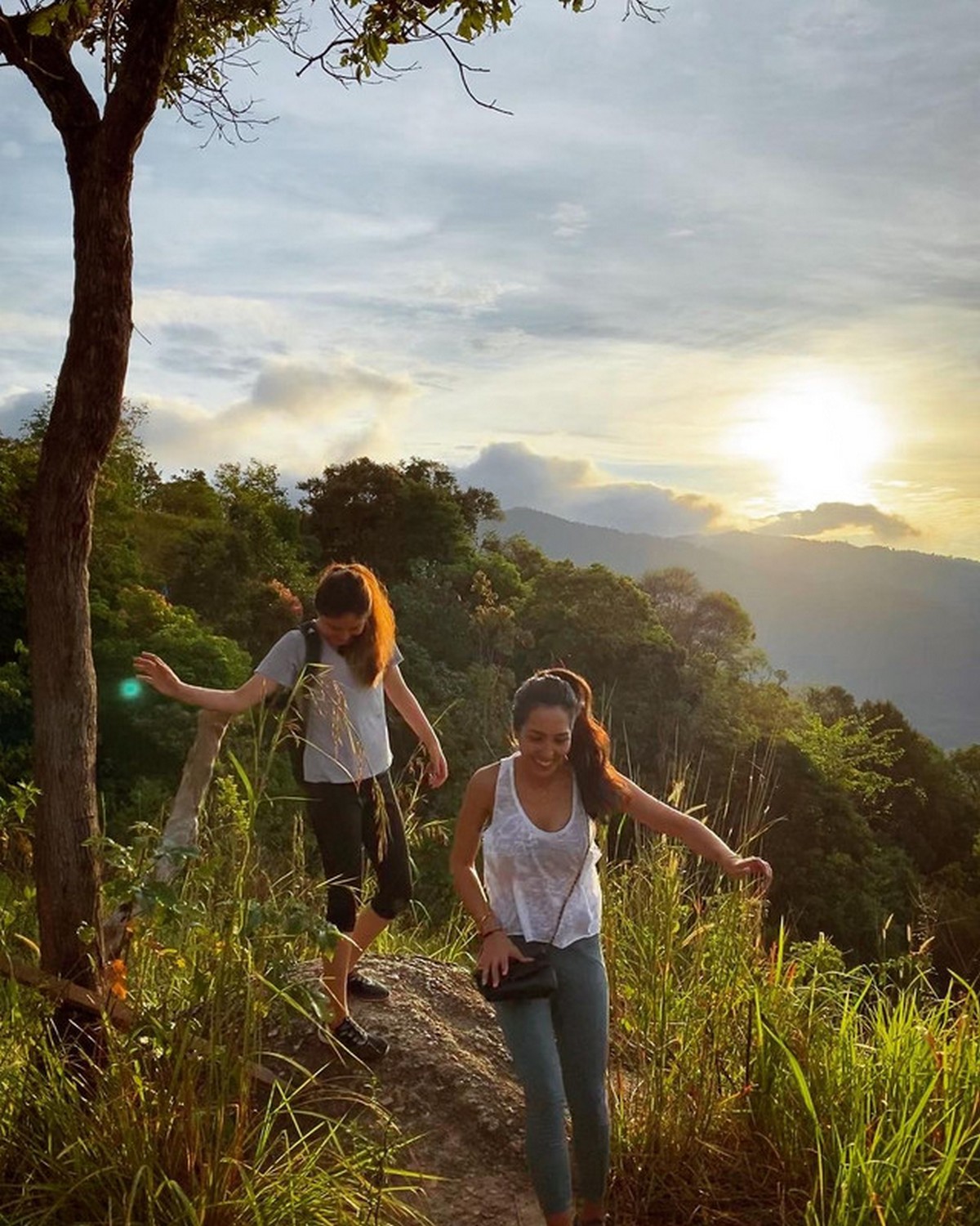
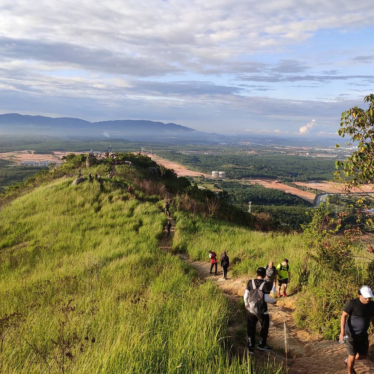
Here the famous Broga Hill which is popular for hiking where you can enjoy a panoramic view of the Broga town when you reach the top.
Entrance fee:
RM1 per person
Address:
Broga Hill, 71750 Semenyih, Selangor
Google Maps coordinates:
2.939591, 101.900808
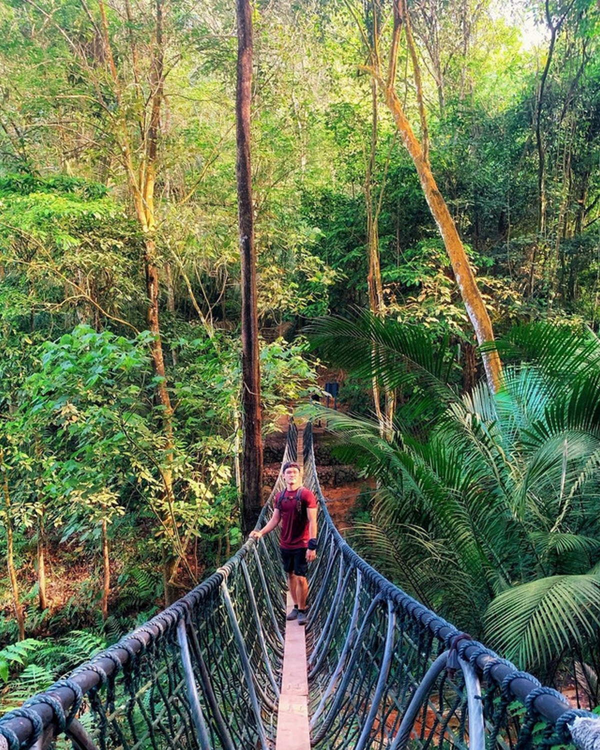
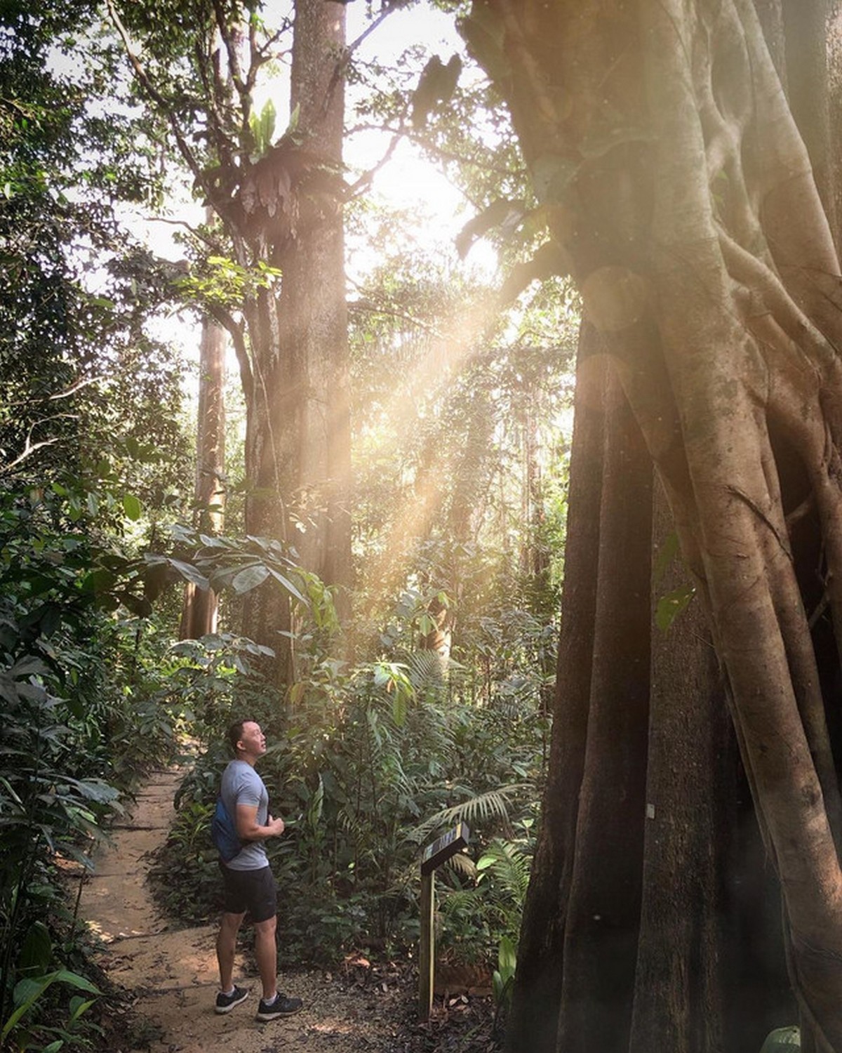
Forest Research Institute of Malaysia (FRIM)
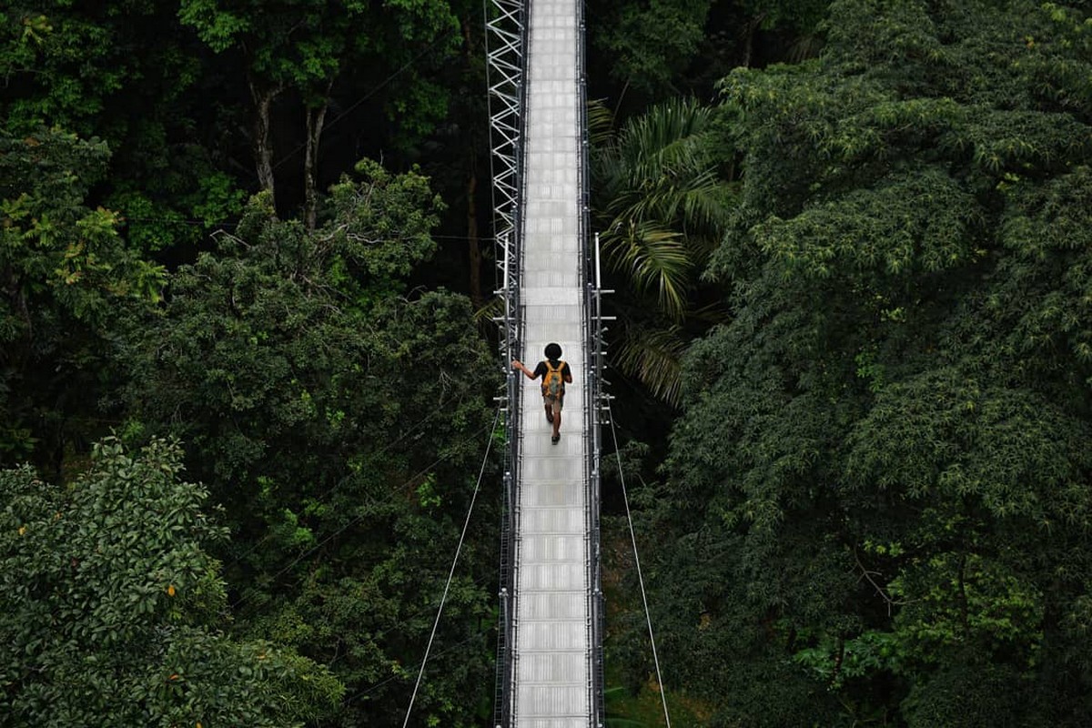
Here other than hiking trails, you can find small streams, bicycling riding path and also picnic areas. Where the newest features is a 50 m high Forest Skywalk which give you a panoramic view of KL.
Entrance fee:
– RM1 per person (MyKad holders)
– RM5 (non-MyKad holders)
You can find out more about the admission fees here. There’s an added fee of RM15 to enter the ‘Forest Skywalk’.
Address:
Forest Research Institute Malaysia,
52109 Kepong, Selangor Darul Ehsan, Malaysia.
Kiara Hill (Bukit Kiara)
There are several trails in Bukit Kiara, where you can start the hike from Mont Kiara or Taman Tun Dr Ismail (TTDI) park.
Entrance fee:
Free
Mont Kiara entrance:
Bukit Kiara Trail, Sungai Penchala,
60000 Kuala Lumpur, WPKL
TTDI entrance:
Jalan Abang Haji Openg, TTDI Hills,
60000 Kuala Lumpur, WPKL
Saga Hill (Apek Hill)
Saga Hill or Apek Hill has a couple of trails where it might takes from one to two hours on way and hikers usually tends to go here if they wanted to train for Mount Kinabalu or Gunung Tahan.
Entrance fee:
Free
Address:
Jalan Saga 20, Taman Saga, Cheras, Kuala Lumpur
Google Maps coorodinates:
3.112660, 101.773242
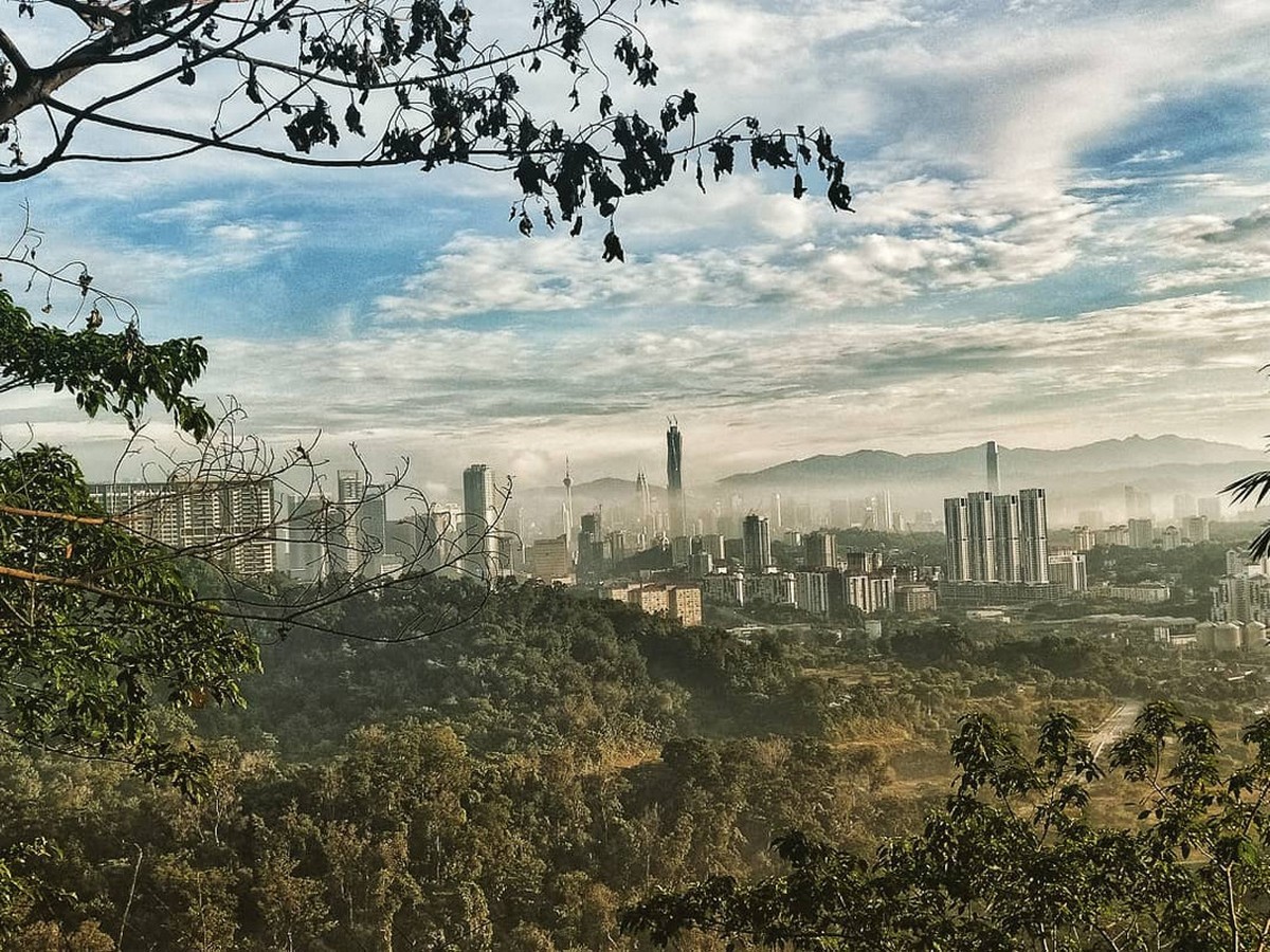
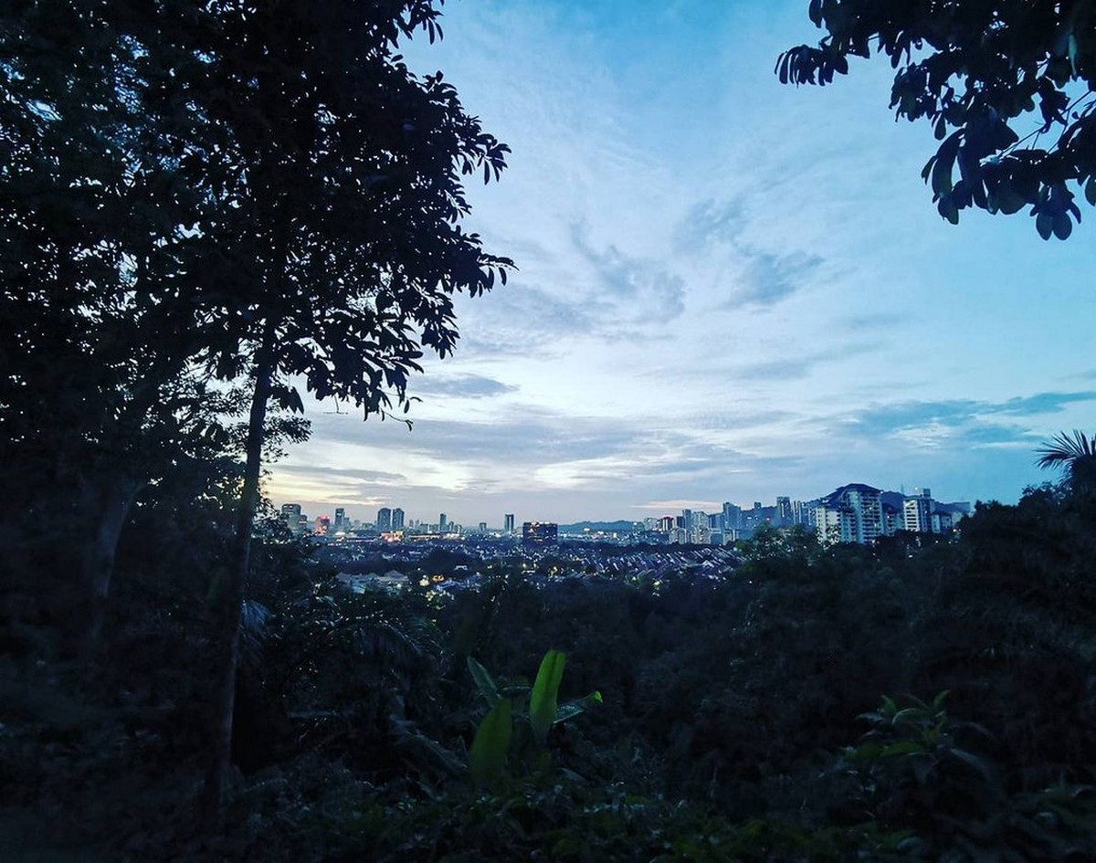
Ketumbar Hill

This is a part of forest reserve which is also includes the Saga Hill where they are 2 routes you can take, which might takes up roughtly 20 – 40 minutes where at the peak, you can enjoy a KL’s City skyline view.
Entrance fee:
Free
Address:
Jalan 6/95b, Taman Cheras Utama,
56100 Kuala Lumpur, WPKL
Google Maps coordinates:
3.10317, 101.75337
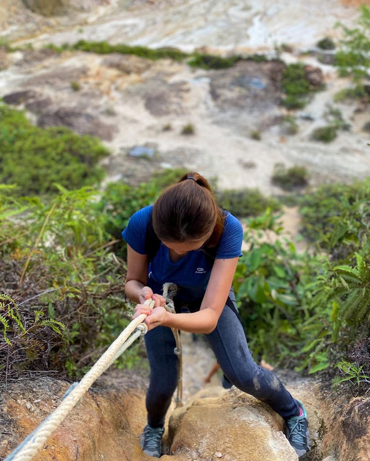
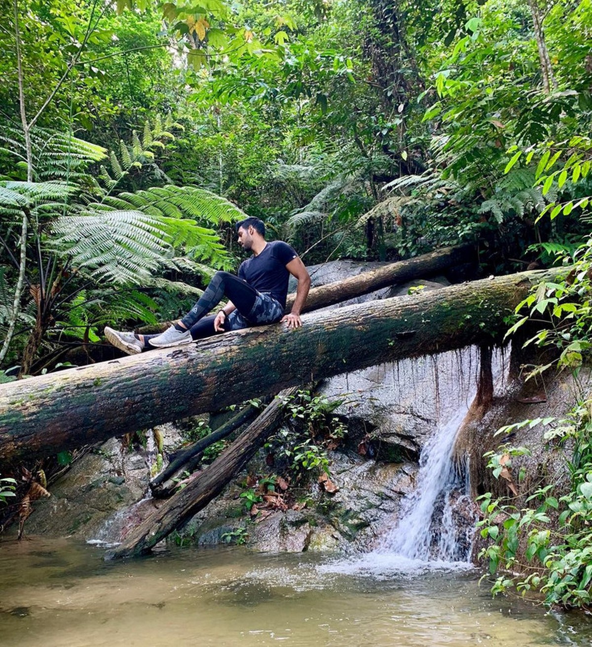
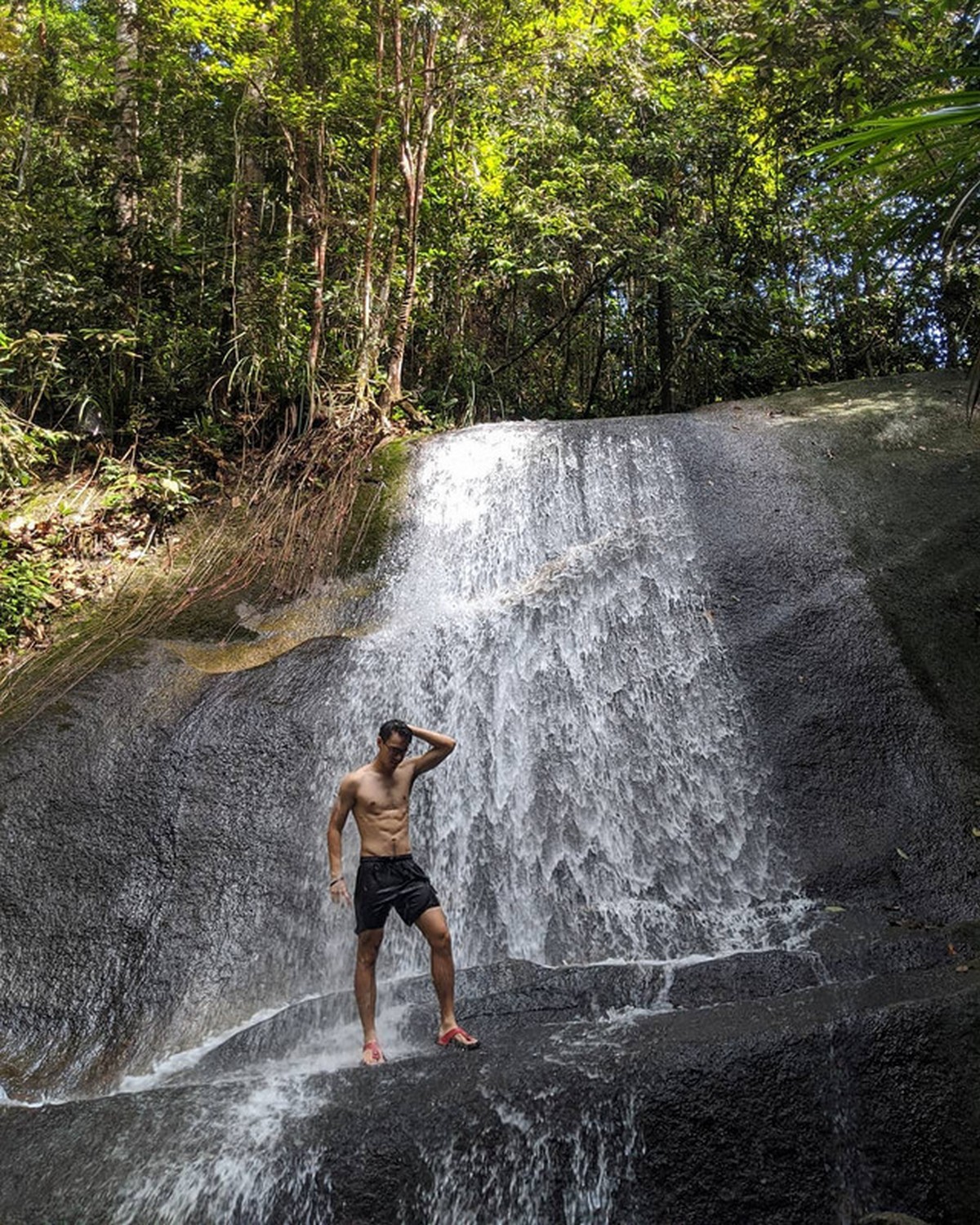
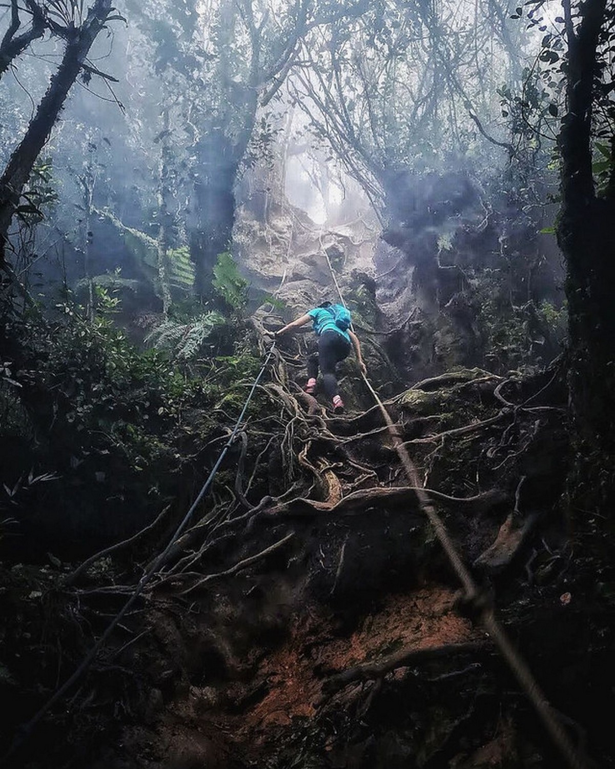
Besi Hill (Bukit Besi)
Located in Cheras, this Besi Hill is relatively easy to conquer where some parts of the terrain will require you to climb using ropes. As there is a small water fall along the way, but it is not much to be expected here.
Entrance fee:
Free
Address:
Persiaran Alam Damai, Alam Damai,
56000 Kuala Lumpur, WPKL
Google Maps coordinates:
3.075596, 101.736533
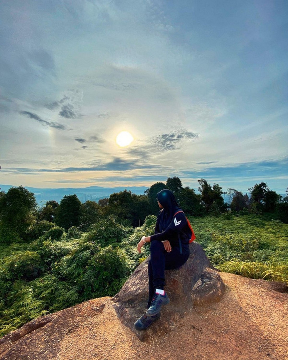
Gunung Nuang
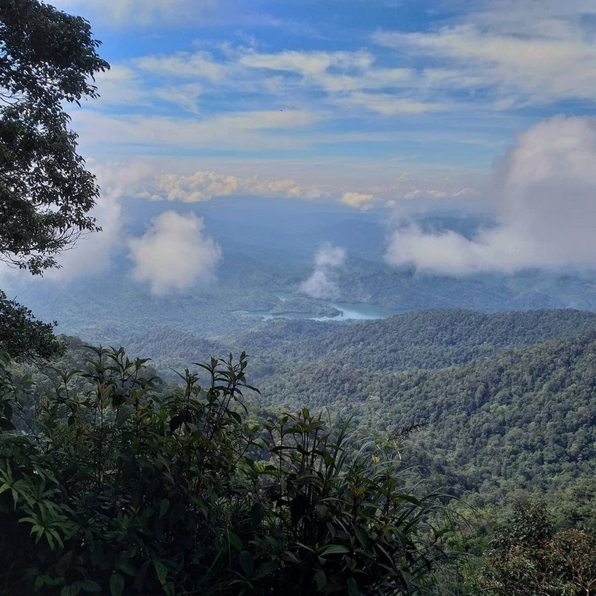
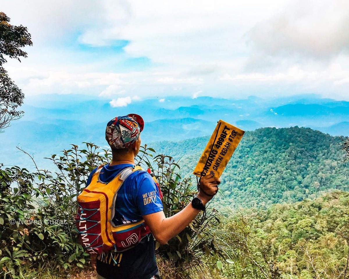
With its bordering Pahang and Selangor, this Gunung Nuang is said to be Selangor’s tallest peak where the hike is more difficult that Mount Kinabalu as you might need a whole day to complete where the easiest route starts from Janda Baiks which it will takes around four to six hours to complete and the other more challenging route starts from Pangsun and takes around 11 to 14 hours to complete.
Entrance fee:
RM1 per person
Google Maps coordinates:
N3.21639, E101.88369
Treacher’s Hill (Bukit Kutu)
You will need a bit of stamina when hiking Bukit Kutu where it will takes around three to four hours to reahc the peack and you can enjoy a breathtaking view of Titwangsa’s mountain and Kuala Kubu Bahru dam.
Entrance fee:
RM1 per person
Google Maps coordinates:
3.572510N, 101.738128E
Gunung Semangkok
This Gunung Semangkok starts points if Pine Tree Trail in Fraser’s Hill, Pahang however the peak borders at the Pahang and Selangor states where the more challenging trails is in Klang Valley with 32 km to go. It will takes about nine hours one way and you will need a good leg workout after this hike.
Entrance fee:
Free
Google Maps coordinates:
3.711805, 101.727518